The balconies of Maraval
Head towards the hamlet of La Tuilière, take the road to the Maraval valley for 1.8 km. Start in front of the ruin of the Béguin mill. "Walking tours" brochure available at the Tourist Office
About
Take the direction of Collobrières and after 2 km, turn left Chemin de Maraval.
Follow this road to the Hameau de La TUILIERE.
At the exit of the hamlet, at the crossroads, turn left onto the Chemin des Hameaux leading to the Hameau de St Jean and to La PORTANIERE.
Take the Vallon de Maraval road and after 1.8 km park near the ruin of the Béguin mill.
At the mill, take azimuth 280 and find the path on the left of the road near the water reserve (fenced in), and the YELLOW markers which allow you to reach the Collet de La Basse, at hill 120. At the fork, take the path on the right which goes into an undergrowth.
After 350 metres, find a "draille" on the right, azimuth 60, quite steep at the start, which allows access to the hilly path of Sauvecanne.
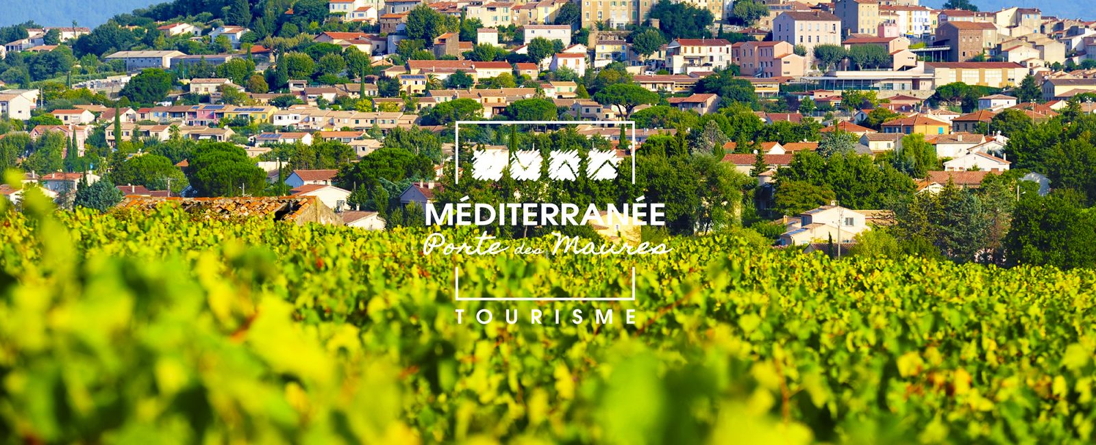
Very nice view of the Maraval vineyards.
After about 3 km, arrive at a crow's foot at hill 189.
Follow straight on, the large ridge track azimuth 60 which rises seriously and rapidly (10 and 15%) to join the Piste des Crêtes de Maraval at hill 344.
Ignore the paths encountered on the left as you climb.
Arrive at the intersection of 6 tracks, turn right azimuth 130, stay on the main, winding track for about 4 km and join a cistern at coast 479.
Start of 4 new tracks, follow the track on the right azimuth 100.
After 400 metres, spot a rain gauge on the right and take the track going down, same azimuth.
Follow it to a barrier in a hairpin bend and join at hill 428 (cistern and hunters' hut known as the Grillo hut).
New start of 4 tracks, from the right, take the 3rd track with your back to the cistern and follow azimuth 180.
After this short but steep climb to the fork, coast 516, continue on the left to reach the summit of Grand Baudisson (cistern).
Take azimuth 228 (Panorama over the sea).
The track descends for about 1 km to reach a new crow's foot (cistern) where you must take the Piste du Blavier on the right, until you reach a fork in the road, coast 164.
Turn right to join the Piste des Crêtes du Peirol, coast 398, azimuth 250.
Continue for about 2 km to reach La Cabane des Gardes, place called La Saute.
Ignore the various trailheads and spot a hunters' trail, behind the hut, marked YELLOW azimuth 330, which goes into the undergrowth, offering a view of the Vallon de Maraval and allowing you to see the route taken earlier, La Piste des Crêtes, opposite.
Follow for about 3 km to reach the wide Camargues track of the GR 51.
Follow it to the right, azimuth 250, for 2.5 km to reach, at the Hameau des Davids, the tarred road of the Vallon de Maraval.
After 1 km, turn right to find the vehicles at the ruin of the Béguin mill.
Prices
Free
Opening
All year round.
From June 21 to September 20, hiking trails are subject to the rules of access to the Var forest massifs to comply with the fire risk prevention plan. Information: Var Prefecture - 00 33 4 98 10 55 41 - var.gouv.fr.
Activities
- Pedestrian sports
- Hiking itinerary
Situation
Suggestions nearby

